Uluru – Kings Canyon

22 May 2016 – 25 May 2016

Ayers Rock/Uluru
Ayers Rock/Uluru

The trip to Uluru started terrifically – even on the day before, with a roughly magnitude 6 earthquake close to the Ayers rock.

Things didn’t become better – first there was a water leak on the outbound plane. We sat near the very back and when we reached our destination, the rear door at back failed to open. So after waited for ages at the back of a long queue, we finally picked up the rental car and when we reached the campground, the cabin we had been given could not be locked. Later, the resort changed us to another cabin.

Cabin at camping ground

But that didn’t stop us driving to uluru-kata tjuta national park later that afternoon. After a short tour around the park, we waited for the sunset at designated area. There was no awe-inspiring experience induced by the colour changing rock because it was cloudy!

The next day when we waited for sunrise, it was even worse – it started drizzling. Did I read somewhere that it only rains several days out of a year in the area? This site even says that you would have to be lucky to actually be there when it rains. I guess I must be really lucky as always.

Hard being a plant in the desert

The trip went well despite all the small glitches.

The amazing scenery started as early as in the middle of the flight, the landscape in the centre Australia was rather flat, tinted with red hew and occasionally adorned with colourful lakes.

Colourful lakes - bird's-eye view from plane
Colourful lakes – bird’s-eye view from plane
Waterways? - Bird's-eye view from plane
Waterways? – Bird’s-eye view from plane
Sunshine - bird's-eye view from plane
Sunshine – bird’s-eye view from plane

The resort at Ayers Rocks consisted of 5 few hotels & resorts, including a campground. There was also a police station, a post office, a few restaurants and a small supermarket. That’s all pretty much it, and it’s in the middle of no where, hundreds of kilometres from the closet town, which was Alice Spring. To my utter surprise, there was excellent mobile coverage. Judged by the amount of solar panels in the area, electrical for the whole place probably came from the sun.

Solar panels at Yulara resort

We spent the late afternoon of the first day and early morning of the second day in the vicinity of Uluru, visited the culture centre, stopped by the sunrise and sunset viewing areas and took a short stroll near the monolith itself.

Close up of the monolith
A small cave in the Ayers Rock
Walking trail at Uluru sun rise view area with my parents in the distance

By the noon on the second day, we moved on to Kata Tjuta. I can now understand why the area is a wonder of the world – because the landscape is strange, it’s either relatively flat desert or a bunch of huge rocks in the middle of nowhere.

Me at Kata Tjuta dune viewing area
Kata Tjuta
Kata Tjuta

That afternoon we drove to Kings Canyon, there no mobile reception anywhere along the road. Despite the lacking of cars and the highway being rather narrow(1 lane in each direction), the road to and from Kings Canyon was very well maintained.

NT state route 3
NT state route 3

Scenery consisted mainly of sparse vegetation,  red sand,  redder sand and red sand stone that is likely to degrade into red sand one day anyways. That is, unless you stop somewhere and take a closer look. There were plenty of interesting little things around.

An ant hill
An ant hill
Unknown melon
Unknown melon

There were plenty of dingos in the Kings Canyon region. I was amazed by how docile those semi-wild dogs were. Smart creature probably had learnt that by behaving like a dog, they had a better chance of score some food from tourists. Even though feeding dingos were prohibited in many areas.

A dingo
A dingo

Landscape at Kings Canyon was somewhat, special too. Those rocks reminded me of dome shaped, multilayer pastry. Yum.

Cliff top at Kings Canyon
Cliff at Kings Canyon
Me acting stupid at Kings Canyon

Due to pareidolia, many petrified supernature figures were found on the cliff top. Those included a turtle head camel and a skull (pictures below):

Turtle head camel
Turtle head camel
Skull
Skull

Drove back to Uluru the next afternoon/evening. Only on the way back did we see some cows. There were also plenty of salt lakes in the area. We stopped by and walked to one to take a closer look.

Salt lake
Salt lake
Lasseter Hwy/State Route 4

On the last day we set out early for the sun rise again. This time, the sky was clear and sun didn’t hide behind clouds.

Crowd at Uluru sunrise viewing area

We also visited the camel farm nearby.

Camel
Camel

Even before the trip, I was hoping to sight a gigantic wedge-tailed eagle, but instead we saw a small black-breasted buzzard or it could be a small kite – it’s bird of prey the size of a pigeon on the road.

Bird of prey
Bird of prey

The whole trip was great, despite that wedge-tailed eagle were all busy and only greeted by a small kite.

Me at Uluru sunset viewing area

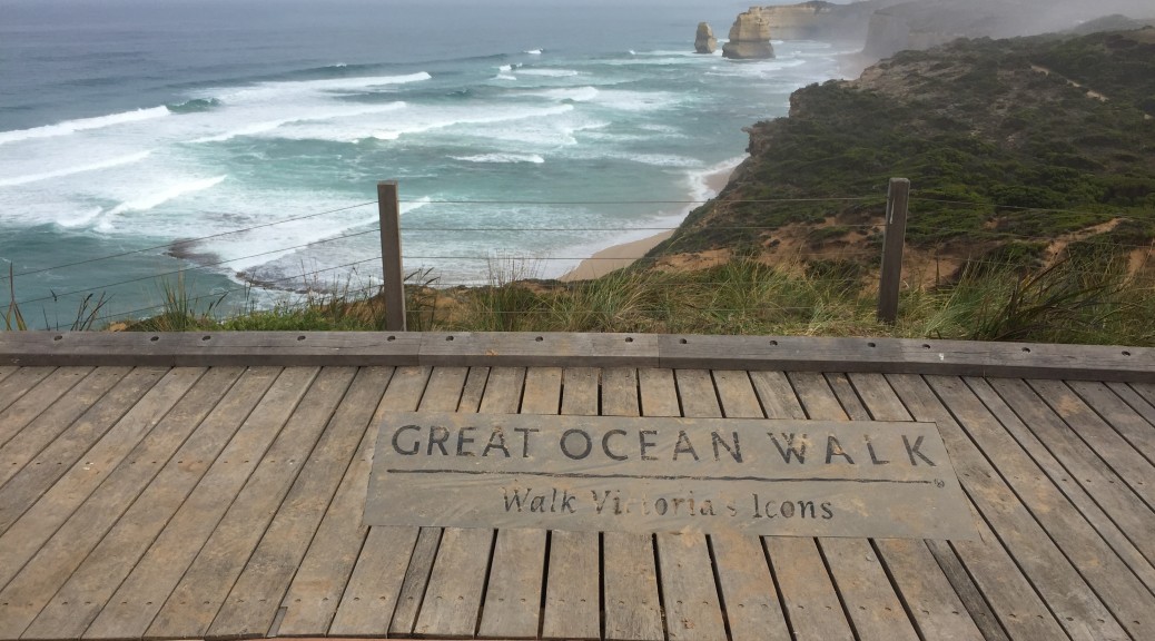
Great Ocean Walk – Part 3

Day 5, Thursday 10 March,  – (13km) Ryans Den to Devils Kitchen.

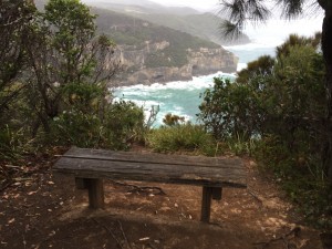
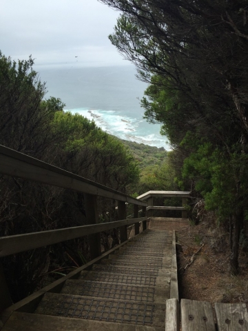
Bench at a lookout point

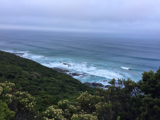
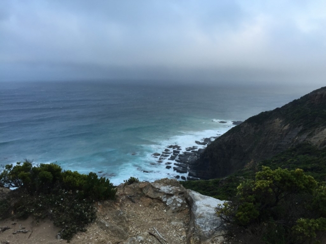
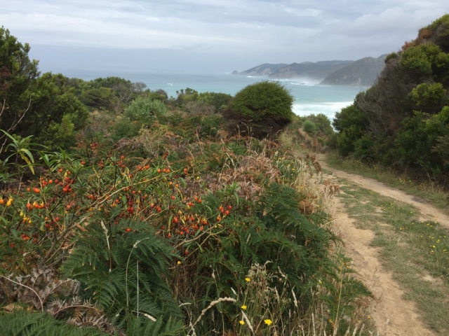
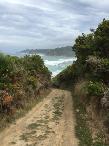
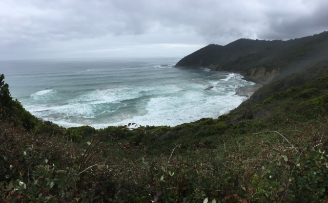
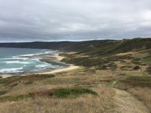
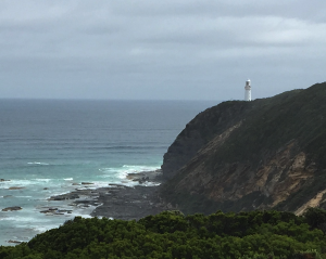
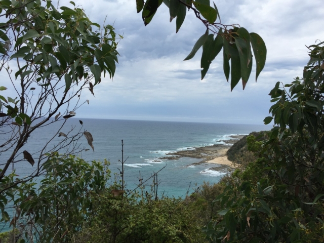
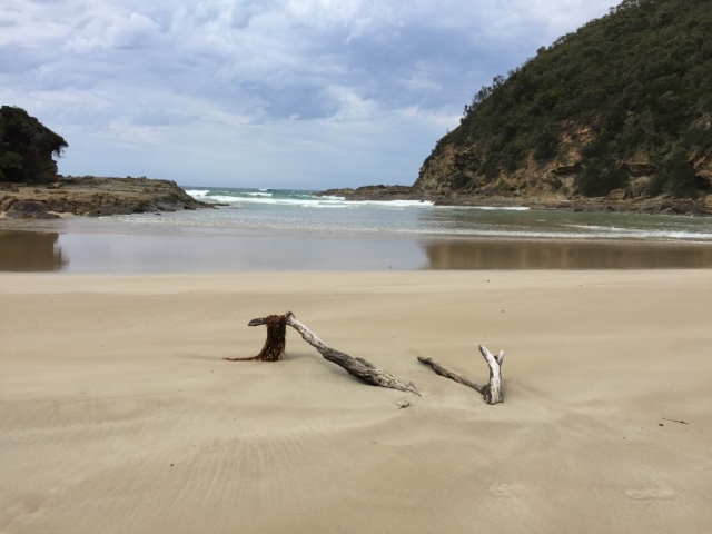
It drizzled a bit early in the day, but this didn’t stop scenery from being amazingly beautiful.

Trail 1 - Day 5
Trail 1 – Day 5
Trail 2 - Day 5
Trail 2 – Day 5
Scenery 1 - day 5
Scenery 1 – day 5

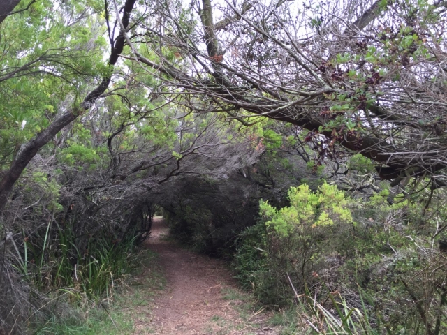
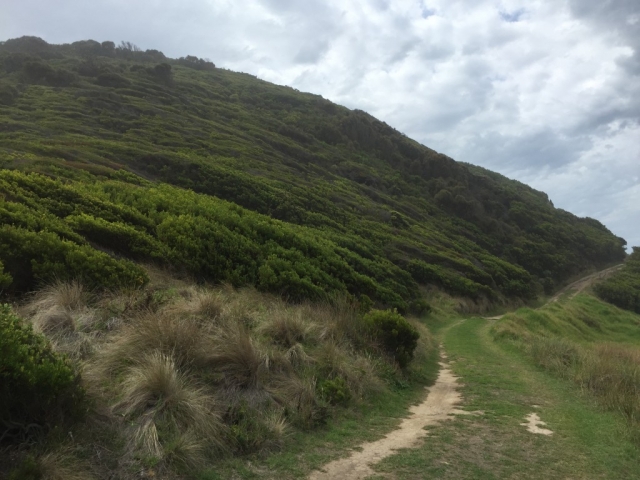
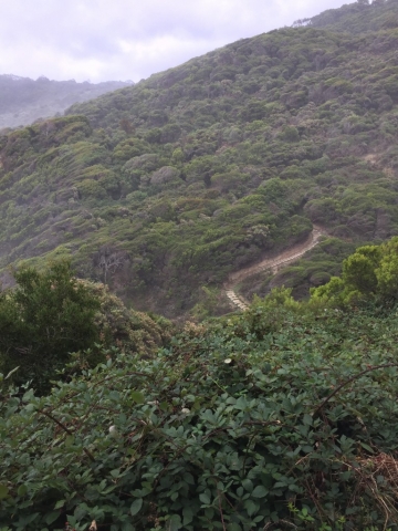
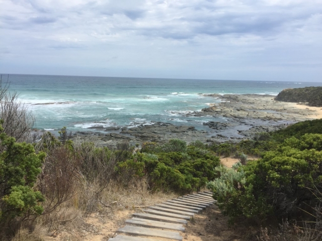
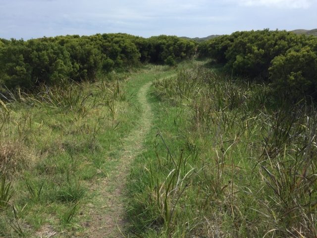
Most of the day’s track was, as you probably have guessed, on a well trodden trail next to the ocean. There was a small section of it in the forest near the end.

Scenery 2 - day 5
Scenery 2 – day 5
Scenery 3 - day 5
Scenery 3 – day 5

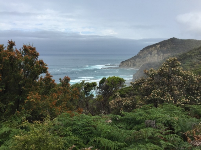
Because of the drizzle, the ocean and hills seemed to be misty, gave the landscape a different kind of hue.

Scenery 4 - day 5
Scenery 4 – day 5
Trail 3 - Day 5
Trail 3 – Day 5
Benches at lookout point

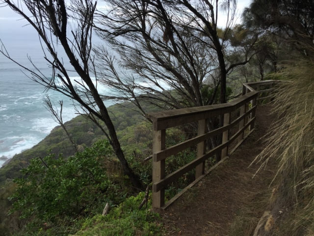
There were a few benches like this strategically located at the lookouts along the way, providing the bushwalkers  convenient rest spots with stunning views.

Trail 4 - Day 5
Trail 4 – Day 5
Hygiene station
Hygiene station

Hygiene stations like this were present at all sections of  the walk, one must whip one’s shoes/boots on the brushes to clean them up before proceeding to the next section.  Those hygiene stations varied in apparences, with this being one of the most common types.

Scenery 5 - day 5
Scenery 5 – day 5
Trail 5 - Day 5
Trail 5 – Day 5

The trees in the forest looked a bit weird. Now looking at the pictures, it was probably because  the trunks of those trees were dancing left and right, unlike most other trees which are usually straight.

Trail 6 - Day 5
Trail 6 – Day 5
Trail 7 - Day 5
Trail 7 – Day 5
Mushroom 1
Mushroom 1

There was also a large variety of mushrooms along the walk.This for example, is not bread.

Mushroom 2
Mushroom 2
Trail 8 - Day 5
Trail 8 – Day 5

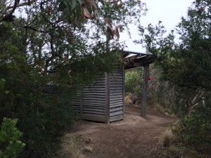
Devils kitchen campsite had the toilet with one of the best views. But the toilet, like those in the rest of the hike in camp sites were composting toilets. Which means, while enjoying the spectacular view from the window while sitting on the toilet, you also have to endure the almost unbearable stink emanated from beneath.

View from the hike in camp toilet

By the time we reached the campsite, it started pouring.
Because of the rain, there were a lot of mosquitos. We only walked 13km that day, I had the whole afternoon not having much to do. So I ended up reading a book on my phone, a little curious fairy wren came over to the opening of my tent to check me out, there were 4-5 mosquitoes circling outside the top of the inner layer of my tent at one stage.
I wonder whether fairy wren eat mozzies.

Day 6,  Friday, March 11  – (16km) Devils Kitchen to 12 Apostles.

day6-16

It was another day with early start because we need to catch the shuttle bus at 12:30pm and it was a 16 km hike.

Scenery 1 - day 6
Scenery 1 – day 6
Trail 1 - Day 6
Trail 1 – Day 6
Trail 2 - Day 6
Trail 2 – Day 6

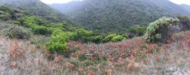
It was cloudy in the morning, so it still looked misty in the distance.
Reception improved drastically as we walked closer to the civilization and there were a few places along the track that were accessible by cars. Occasionally, I could see roads and  farmlands in the distance.

Scenery 2 - day 6
Scenery 2 – day 6
Trail 3 - Day 6
Trail 3 – Day 6
Trail 4 - Day 6
Trail 4 – Day 6

Where the Great Ocean Road met the Old Coach Road near Gellibrand  river, we walked past a caravan park. This was a place where the narrow, rough hiking track suddenly turned into a flat, 4-5 metre dirt road cater for automobiles.

Trail 5 - Day 6
Trail 5 – Day 6
Snake warning sign
Snake warning sign

Despite the warning sign, we did not sight any snakes. Instead we spotted an echidna. Those creatures are relatively easy to spot because they cull into a ball when they sense danger.

Echidna
Echidna

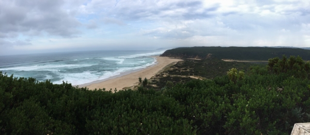
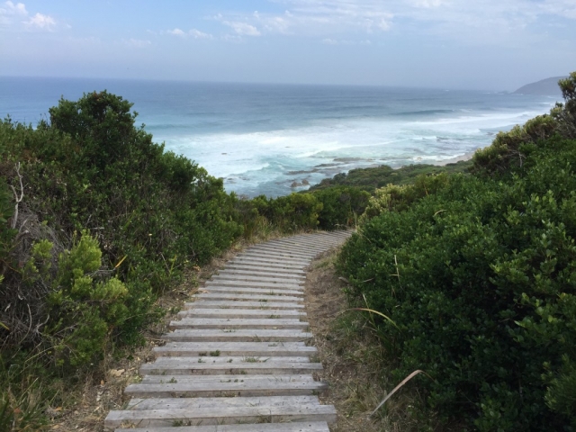
The last few kilometres,  the trail changed  frequently – from dirt to rubber covering on the track to wood planks to stones steps and back. The sceneries, however, remained  similar: up and down the green hilly side close to the sea.

Trail 6 - Day 6
Trail 6 – Day 6
Trail 7 - Day 6
Trail 7 – Day 6
Scenery 3 - day 6
Scenery 3 – day 6
Trail 8 - Day 6
Trail 8 – Day 6
Trail 9 - Day 6
Trail 9 – Day 6
Trail 10 - Day 6
Trail 10 – Day 6

When we reached the 12 Apostles Visitor Centre – our final destination, there was no relief of finally finishing the walk or disappointment that there was nothing further to walk on. It’s probably because our thoughts during the last few hours were mainly on how to not miss the shuttle bus.
It was not until I started sorting some 1500+ pictures I had taken over the trip did it dawn on me that I had completed the whole track!

Aftermath
I mean misc thoughts after completed the track.
This track was one of the most clearly marked and well maintained track I have hiked, despite the fact that there weren’t whole lot of people on it when we walked. It is possible that number of spots at hike in camp sites limited the amount of people walking the track and there weren’t awfully lot of day walkers other than on the sections near touristy spots accessible by cars.

In retrospect, ideally I should probably finish it in 4 days – single section only takes a few hours to walk, leaving plenty of times in the afternoon to munch on the over supply of food that I routinely bring on those overnight/multiday bushwalks in the fear of starving. In the end I lost not a single kg through this 106km hike. My mum said ‘dear, it’s not that you did not lose any weight, you just drank too much water’.

Right.

Me
Me

Great Ocean Walk – Part 2

Day 3, Tuesday, 8 March – (24km) to Johanna Beach. (bypass Aire River)

Scenery 1 – day 3

We started  around 7:40am because of the distance we had to cover that day. This section of trail was very close to the ocean most of the times.

GOW Day 3 – Part 1

We arrived at the Aire River campsite shortly after 10am and was greeted by a clan of swamphens at the the ‘reception area'(shelter).

This campsite was also the only one with multiple toilets. Cape Otway has a pair of toilet cubicles, but this one had four!

The Great Ocean Road converged with the Great Ocean Walk at Castle Cove, so we saw more people at this tourist attraction during our short stay than the total number of people we saw for the rest of the day.

GOW Day 3- Part 3

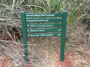
Johanna beach camp had some sites with awesome view, but hike to get there involved walking on the sand for nearly 2 kilometres with full pack on.

Trail 7 – day 3

As a reward, the campsites had, in my opinion, the best view of all hike in campsites. You can set your tent up very close to the cliff edge, over looking the ocean from the top of the hill.

View from the Johanna Beach campsite

Day 4,  Wednesday, 9 March  – (14km) Johanna Beach to Ryan’s Den.

Trail Mark – Day 4

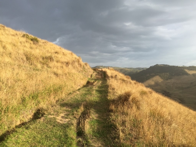
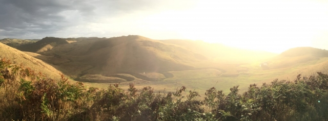
After left the campsite with astonishing view, the track entered a hilly farmland area. This part reminded me of the six foot track. Kangaroos observed us from afar.

Great Ocean Walk Day 4 – Part 1


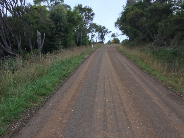
There were a couple of farms at the either side of the road, and road itself looked as if it was frequently driven on.

Great Ocean Walk Day 4 – Part 2

7-8 kilometres on, the track returned to it’s normal, hiking along the ocean theme – up and down the green hilly side, next to the ocean.

Great Ocean Walk Day 4 – Part 3

Then after crossing a dried creek at low tide, the tracked started going up. There were some dense blackberry bushes at the side of the track.

Great Ocean Walk Day 4 – Part 4

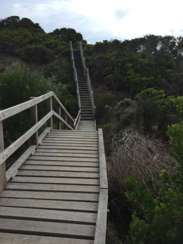
There were a couple of steep climbs in this section, but none of them were very long. The trail was well maintained.

Great Ocean Walk Day 4 – Part 5

We arrived the campsite fairly early, although the frequent ups and downs during the second half would raised this section’s difficulty to medium.

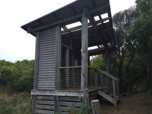
Shelter at Ryan’s Den campsite

Great Ocean Walk – Part 1

I have hiked the Great Ocean Walk organised by a bushwalking group last month. The track is about 105km and we have completed it in 6 days.

Day 1, Sunday, 6 March – (22km) Apollo Bay to Blanket Bay (bypass Elliot Ridge Campground).

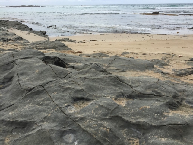
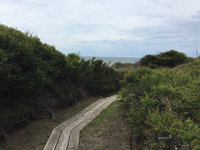
The walk started off as a street walk from the Apollo bay, on the foot path along the Great Ocean Road. Soon it turned into a path close to the ocean – sometimes across the grassland, sometimes a short stroll on the beach, other times walking on the rocks near the ocean. There were a few blackberry bushes along the path.

After lunch at Elliot Ridge Campground, the walk entered an ancient forest. I was told that the area might be the place for a crowded koala population. But high density does not make them easy to spot for they usually sit near the very top of those were very, very tall trees. It’s not uncommon to sight trees thicker than a round family dining table.

First I did not notice any koalas, it was not until I noticed poop in the middle of the track, did I look up. And there it was, two koalas sitting right above of me! It was then, we started paying attention to the top of the trees, and in a short period of time we spotted quite a few.
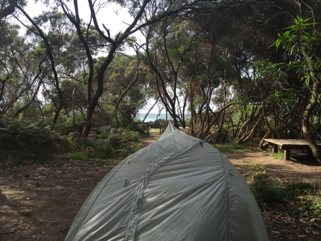
That night, a fox was sighted lurking around near the campsite. My first thought was: it would come over and steal my food when I fall asleep.
Surprisingly, it did not happen.
Day 2, Monday, 7 March – (11km) Walk Blanket Bay to Cape Otway

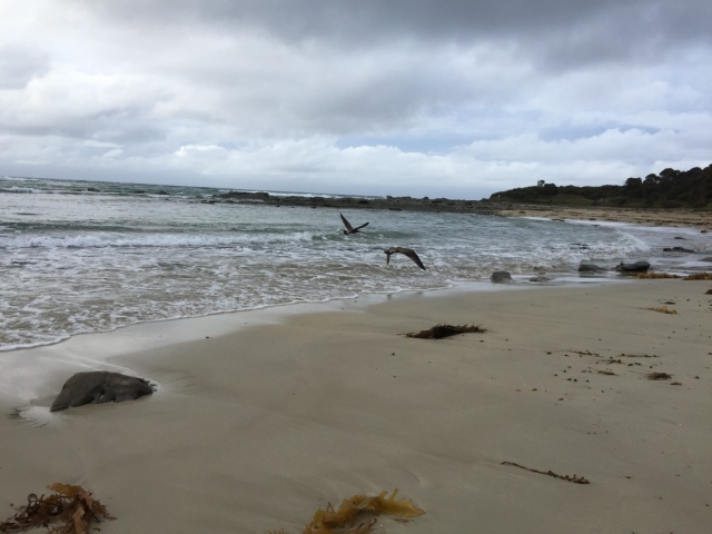
Blanket Bay campsite is very close to the ocean. I started the day with a short stroll on the beach and was greeted by a couple of sea birds.

GOW Day 2 – 1

It turned out to be a rather hot day with many snakes out on the track sun baking.

Once I had a baby snake literally between my feet, trying to get away. But judging by the speed of how they slithered away, they were more scared of me than I was of them.

GOW Day 2 – Trail

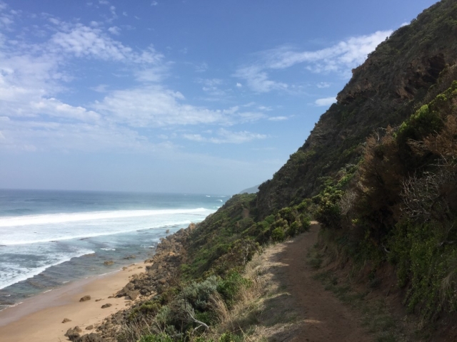
Unlike last day’s  route, the track on Monday was close to the ocean. Like the rest of the walk, the scenery changed from section to section, but mostly of stunning ocean, creeks and undulating hillsides.

GOW day 2 – 3

The hike in campsites on the Great Ocean Walk have more or less the standard shelters/kitchens and toilets, this is a natural composite toilet at Cape Otway.

Toilet at Cape Otway campsite


Crane Vs Ibis

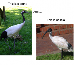
Crane vs. ibis
Crane vs. ibis

See those two little creatures are quite similar? The white torso, blackish tail and thin long legs?

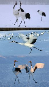
But crane, the symbol of beauty, is often depicted this way:

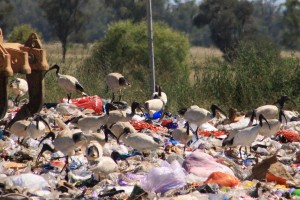
While as the ibises, are often found doing this:

auwibis_2644_big

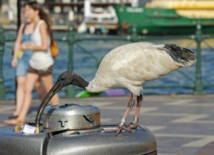
They even have specialized beaks to tackle the rubbish!

largecolonie

See these long, curved beaks? Perfect for hooking the garbage out from those hard to get places!

I love you, Ibis. Don’t ever change!

index


Skip to toolbar